
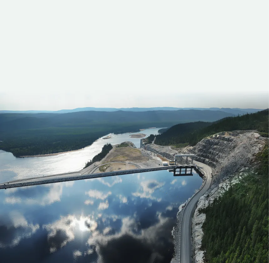
We shape resilient and productive communities through strategic urban and territorial planning, and we protect them through sound water resources engineering. Our work spans master planning for integrated special economic zones, large scale urban restructuring, and the municipal infrastructure that makes both function.
Capabilities
- Master planning for urban hubs and special economic zones
- Municipal infrastructure design covering roads, drainage and utilities
- Hydrology and hydraulic modelling using EPA SWMM, StormCAD and TR20 and TR55 methods
- Stormwater management and flood prevention system design
- Water supply and sanitation network engineering
- Irrigation scheme design and supervision
Modelling before concrete
Drainage and water infrastructure fails at the design assumption long before it fails in the ground. We build the hydrological and hydraulic model first, using EPA SWMM, StormCAD and the TR-20 and TR-55 methods, and we size structures against modelled storm events rather than against the pipe that happened to be installed upstream. The model is also what lets a client see what happens when catchment land use changes, which is usually the question that matters over a twenty-year horizon.
On master planning engagements the sequence runs the other way round: land use, circulation and servicing capacity are resolved together, so that road alignments, drainage corridors and utility reserves are compatible before any parcel is committed. That integrated approach is what makes special economic zones and large urban restructuring schemes buildable in phases instead of requiring wholesale redesign at each stage.
Municipal and agricultural infrastructure
The same modelling discipline supports water supply and sanitation network design, stormwater and flood prevention systems, and irrigation scheme design and supervision. Where a scheme crosses into agricultural productivity we work with the client on both the hydraulic and the operational side, as on the Bougourma irrigated perimeter in Cameroon. Related client context is set out under water and agriculture, and the civil works behind these schemes are covered by our infrastructure and geotechnical team.
Related projects
Common questions
Which hydraulic modelling tools do you use?
EPA SWMM for catchment and network behaviour, StormCAD for storm sewer design, and the TR-20 and TR-55 methods for runoff estimation. Tool choice follows the question being asked and the standard the reviewing authority expects, not the other way around.
Do you handle master planning and detailed design, or only one of them?
Both, and they are usually more valuable together. Master planning for urban hubs and special economic zones sets the servicing framework; municipal infrastructure design for roads, drainage and utilities then delivers inside it. Keeping both in one team avoids the common failure where a plan is approved that the servicing capacity cannot support.
Can you supervise irrigation and water works during construction?
Yes. Irrigation scheme supervision is part of our scope, and construction supervision more broadly is described under quality, health, safety and environment.
Do you cover the environmental approvals for water projects?
Environmental and social impact assessments, management plans and lender compliance are handled by our environmental, social and sustainable development specialists, who work within World Bank and African Development Bank policy frameworks.