
Client: TPC
Location: Kome 4 to Doba national road, Logone Oriental, Chad
Status: Completed, September 2025
Overview
The challenge. The 18-kilometre section linking Kome 4 to the Doba national road is a key access corridor for oilfield operations in the Logone Oriental region. Years of heavy traffic between the OFDA premises and Doba had left the pavement in a condition that no longer matched the service the corridor is asked to provide, and any rehabilitation programme first needed something the corridor did not have: an accurate, up-to-date survey of what is actually on the ground.
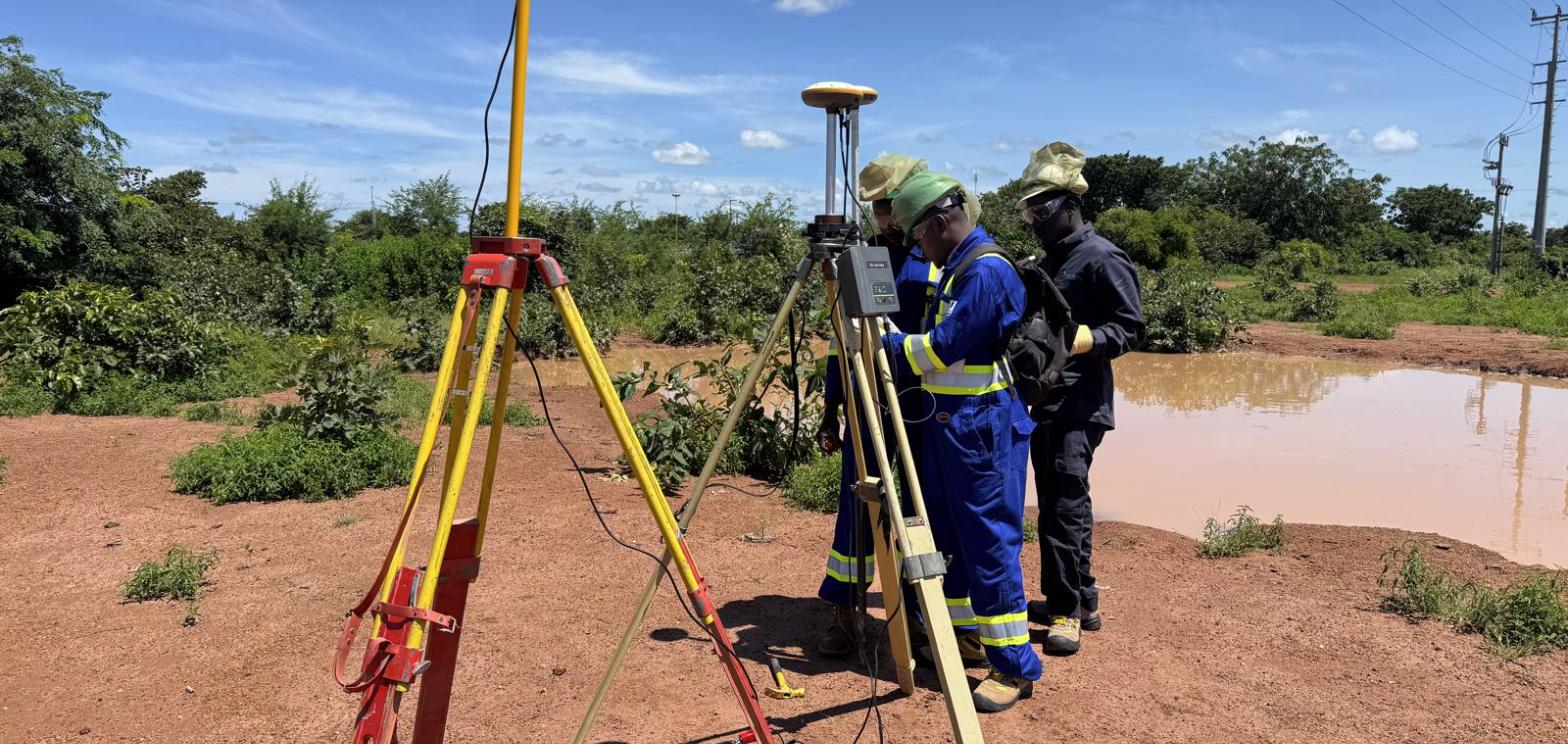
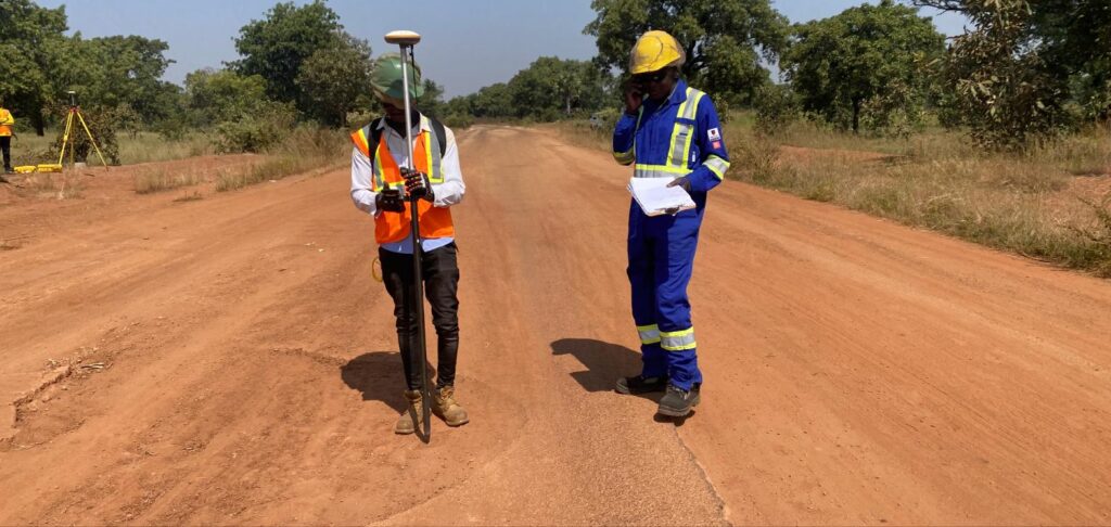
Our approach. TAWARA SARL carried out the full topographic survey of the alignment using GNSS receivers and total-station instruments, working as a small resident team based close to the works — the delivery model we use on every remote-basin assignment in Chad. A GNSS base station anchored the control network while the survey crew walked the full 18-kilometre alignment with a rover, picking up the carriageway, drainage features and tie-ins along the corridor. From that survey we produced the layout plans and the construction design plans for the rehabilitation of the paved road, designed by service level so that investment goes where the traffic function of each section demands it, on the OFDA premises for TPC.
The outcome. TPC received a complete, buildable design package — survey, alignment and construction drawings — delivered in September 2025 and ready to carry the corridor into the construction phase. The design-by-service-level approach means the rehabilitation programme can be phased and priced section by section rather than as a single undifferentiated contract.
Services applied
- Topographic survey (GNSS and total station)
- Road layout and alignment design
- Construction design plans
- Pavement rehabilitation design by service level